Infrastructure
Where the Runoff Goes: Mapping Town Drainage Before the Lake Pays the Bill
Before a council debates plant upgrades, residents can learn how their own storm drains carry rain, and whatever it picks up, toward the nearest lake or river.
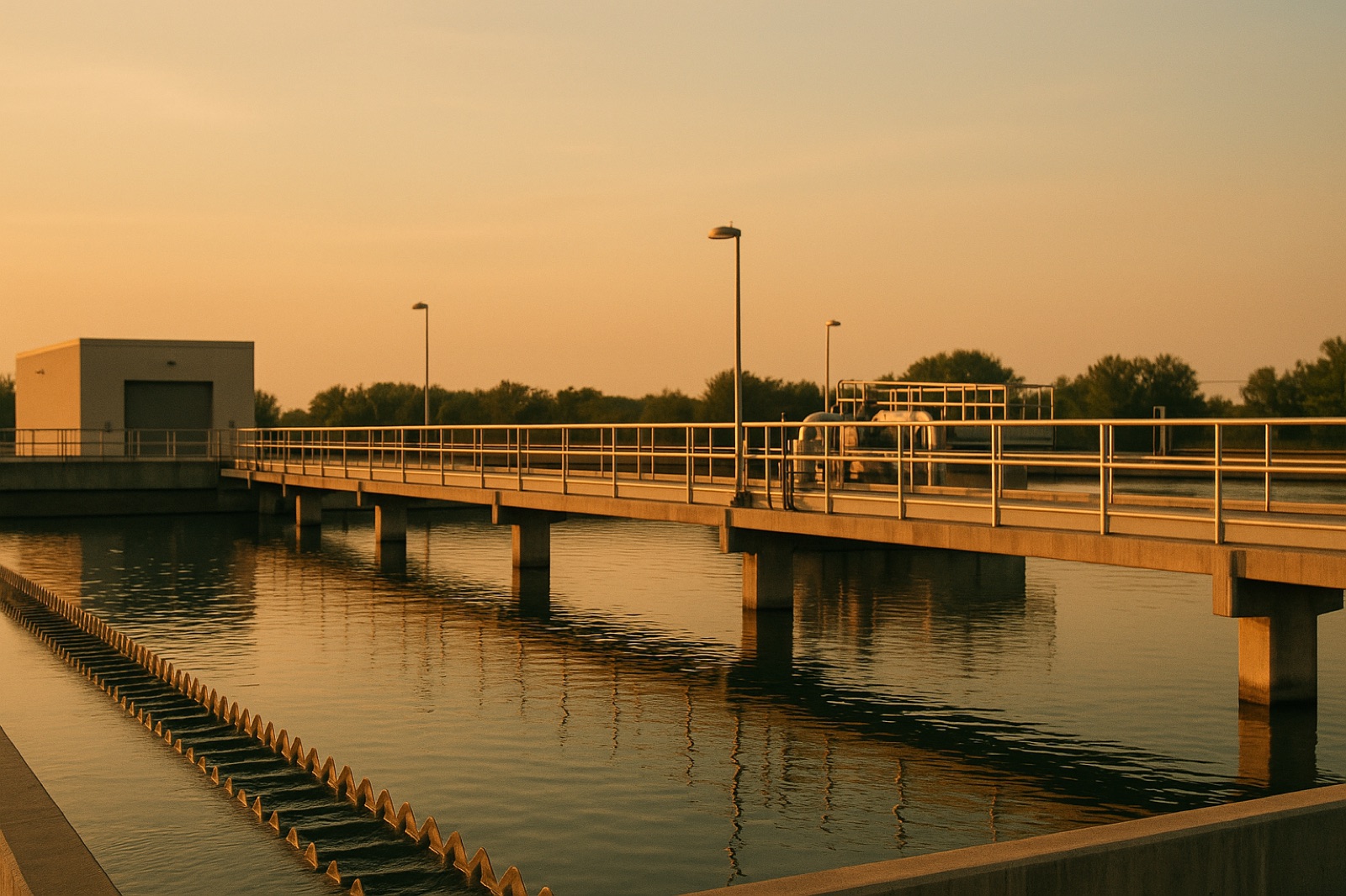
When a lake turns green in late summer, the first question many people ask is what went wrong at the water treatment plant. That is understandable, but it is often the wrong place to start. A lake receives water from everything upstream of it, and a Midwest town's storm drains, ditches, and culverts are part of that path. Before a council debates plant upgrades, residents can learn how their own drainage moves rain from streets and yards toward the nearest river or lake.
A Circle of Blue story on Lake Champlain offers a useful reminder of how slow this work can be. The headline reports that Vermont has spent nearly a billion dollars on the lake, then asks why the problem "keeps coming back." The story carries reporting first published by ProPublica. The question is not unique to Vermont. Any lake or river that takes in runoff can carry a record of past loads, so the useful question is where those loads originate, not only what the latest test shows.
Start With the Map, Not the Pipe
Most towns have a stormwater map, though it may sit in a public works office or on a county mapping viewer. Look for three features: the outfalls where storm pipes discharge, the watershed lines that show which streets drain to which waterway, and any ditches or retention ponds that hold water before it moves on. Each answers a different question. Outfalls show where stormwater enters a stream or lake. Watershed lines show which neighborhoods contribute. Retention ponds show whether anything slows or filters the flow.
Impervious surfaces matter here. Parking lots, rooftops, and compacted driveways shed rain quickly instead of letting it soak in, so a heavy storm can push water and whatever it carries into a drain in a short time. Farm fields and lawns add their own loads, depending on how they are managed. A map does not measure those loads, but it tells you where to look.
Match the Map to the Records
Once you know where the drains go, compare that picture with the monitoring records. Many towns that discharge stormwater operate under a permit that requires some reporting, and the permit and its reports are often public. Ask whether the town samples at the outfalls, in the lake or river, or both. A sample taken at one point cannot describe a whole watershed, and a clean result on a dry day says little about what a storm carries.
Ask about dates as well. A monitoring table is useful only if you know when each sample was taken, what the weather was that day, and whether the sampling method stayed the same over the years. Gaps and method changes do not mean anyone is hiding something, but they do change what the numbers can tell you.
Ask the Questions in Order
A practical sequence keeps the conversation focused. First, ask which waterways receive your town's stormwater and where the outfalls sit. Second, ask what the town monitors and how often. Third, ask what projects are planned or already funded to slow runoff, such as rain gardens, street sweeping schedules, or detention basins, and who maintains them. Fourth, ask how the town will know whether those projects work after they are built. Finished cleanup work still needs a record showing whether it changed anything in the water.
Keep Your Own Notes
Residents who want to follow this over several years can keep a simple file: a copy of the drainage map, the permit number, the dates of public meetings, and each monitoring report as it is posted. If you can find rainfall totals from a local weather station for each sampling date, add them. Over time, the file shows whether the town's answers stay consistent and whether the monitoring record matches what people see on the water.
None of this requires a technical background. It requires patience, the same quality a long cleanup demands. A lake reflects decades of land use, and a town that wants to understand its share of that story has to start with the ground beneath its own streets.