Infrastructure
Where the Intake Sits: Planning for Surge Before the Waves Reach Town
Storm waves on the Pacific coast are a reason for Midwest towns to ask where their intakes, low-lying mains, and rough-weather plans sit before high water arrives.
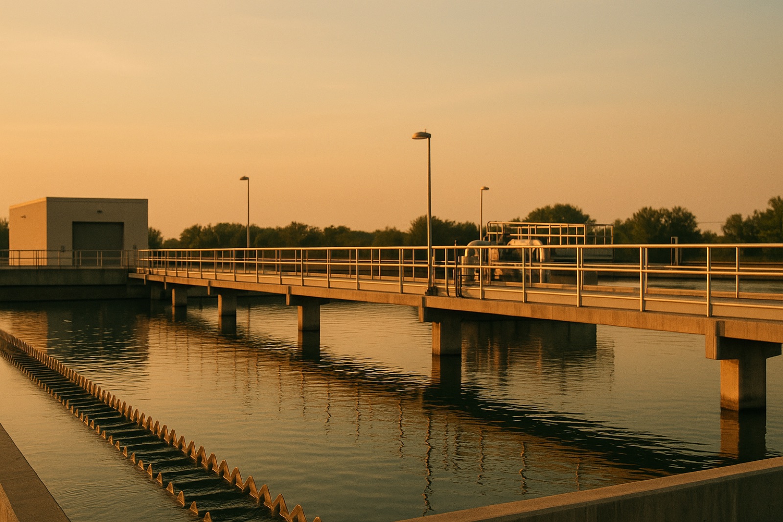
Pictures of waves pushing over a pier draw the eye, but the parts of a water system most exposed to that kind of force usually sit out of sight: the intake that pulls water in, the pumping station that keeps pressure steady, and the low streets where mains and service lines run beneath the pavement. A current report shows how quickly those parts can become a public concern. The Guardian's report on California coast waves, published November 15, 2026 and based on Associated Press reporting, described waves of up to 50 feet that inundated beaches and flooded local streets, and said the surge "forced the closure of popular piers." That is a Pacific story, but the questions it raises apply to Midwest towns on the Great Lakes, on large reservoirs, and on river bends where high water can reach a utility before anyone expects it.
Start With the Intake, Not the Shoreline
A lake or river intake has a depth, a distance from shore, and a screen that keeps large debris out. Wind-driven waves and surge can stir sediment and move floating material, which changes what reaches the screen and the treatment plant behind it. Operators already know the intake's normal conditions. The useful question for a resident is whether the utility has written guidance for rough weather, such as when intake flow is adjusted, when the screen is cleaned, or when the plant watches its raw water more closely. You do not need to know the engineering to ask for that guidance. You need to know that it exists, who keeps it, and where it is recorded.
Shoreline towns often treat the lake as the only threat and forget the features around the intake. A boat launch, a breakwater, or a shoreline road can change how wave energy hits the same spot. If a town has changed any of those features, the intake's risk may have changed too, even though the pump house looks the same from the road.
Follow the Mains Under the Flooded Street
Flooded streets matter for water service because transmission mains and service lines often run under the same roadways that carry runoff. Water moving across a road can wash soil from around a pipe, load the pavement differently, or make it hard to reach a valve when a crew needs one. None of that is certain in any single storm, and most mains are built to handle ordinary ground movement. But a crew that cannot find or reach a valve during a surge faces a longer repair than one that can. The planning task is to match the water map to the flood map.
Ask the utility for two maps side by side: the distribution map showing mains, valves, and pressure zones, and the local drainage or flood map showing which streets collect water first. Where the two overlap, the town has a short list of places to check after a storm. Keeping that list current takes little new spending. It takes someone to update it when a street is repaved, a culvert is replaced, or a new development changes where runoff goes.
Questions for the Next Rough Week
Before the next high-water event, a council or water board can ask a few plain questions. Which intake is most exposed, and what is the written plan for rough weather at that point? Which low streets carry the largest mains, and does the crew know how to reach their valves when the road is under water? Who is the named contact at the utility during a storm, and how does a resident reach that person after hours? A water system that can answer these in writing has done more preparation than one that offers a general promise.
The Pacific coast's waves are a reminder that water hazards arrive in different forms in different places. Midwest systems do not need to match that scale to ask the same practical question: where does the water come from, where does it travel, and what happens at each point when the weather turns? Read the coastal report for the event itself, then bring the same questions home to your own intake, your own streets, and the people who answer when the phone rings.