Great Lakes
Tide Is Not the Lake: Ask Where Your Intake Sits Before the Next High Water
A flooded coastline in California offers a practical lesson for Great Lakes readers: find out how the utility's intake, pumps, and power were placed relative to the highest water it has recorded.
A flood photo tells you the street is wet. It tells you much less about the water system underneath that street. The question a Midwest water customer can ask is narrower: what happens to the intake, the pumps, and the electrical equipment when the surrounding shoreline rises past the level anyone planned for?
A recent report on another coast shows the scale of that problem. In The Guardian's report on California's record-breaking high tides, written by Gabrielle Canon in San Francisco and published October 28, 2026, the headline begins with "Record-breaking high tides," and the story describes seawater moving into low-lying communities, streets, homes, and businesses. That reporting is about California's ocean coast, not the Great Lakes. The physical lesson still carries over. Infrastructure is built to a water level, and water levels do not always stay within the plan.
Where the Water Enters the System
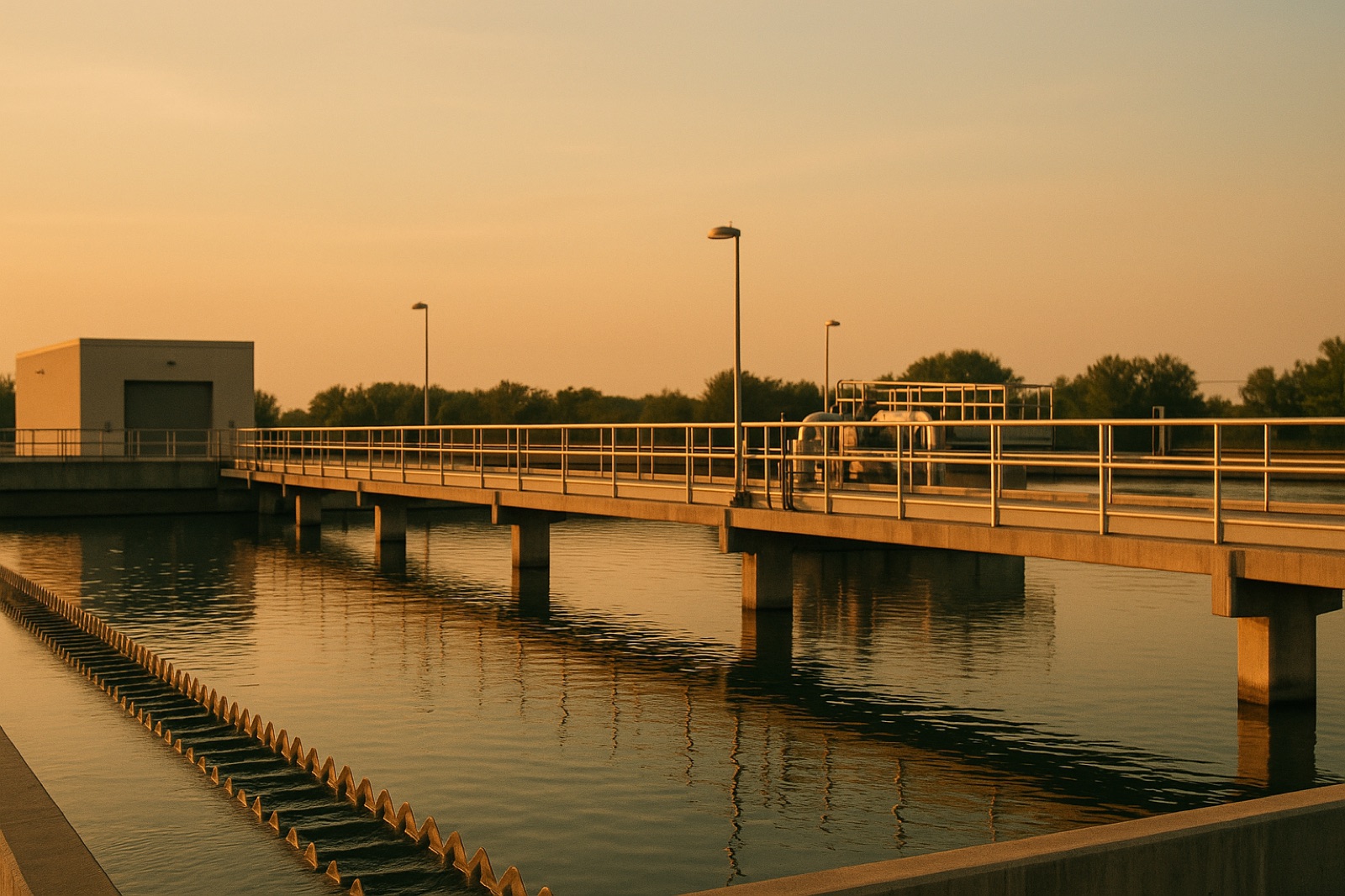
Many lakeside utilities draw raw water through an intake pipe that runs out from shore and ends at an opening below the surface. The depth of that opening, the shape of the nearby shoreline, and the location of the pump station on land all shape how the utility handles changing levels. The pump station, the treatment plant, and the electrical gear usually sit at elevations chosen from past records. When wind, a storm surge, or a long shift in lake level pushes the water line higher than those records, the risk moves from the lake to the building.
Lake water does not rise like a bathtub. Wind and pressure changes can set water moving across a basin, and onshore surges can arrive in short, forceful bursts. Low water raises its own concern. An intake placed too shallow may lose clearance, and a receding shoreline can change how far the intake reaches and what debris it may draw in. A plan that considers only the high line is only half a plan.
Questions to Put to the Utility
Start with the intake. Ask where the opening sits measured against the lowest and highest levels in the utility's own records, and ask when those records were last updated. A utility can answer that question in plain numbers, and a clear answer is a good sign. A vague answer tells you the record may be older than the conditions it is meant to describe.
Next, ask about the building. Is the raw water pump station, along with the switchgear and control panels, above the flood line the utility has recorded, or is it protected by a barrier? Where is the backup power, where is its fuel stored, and how long does the utility expect that fuel to last? A generator sitting below the water line is not a backup for anything.
Then ask about the response. Does the utility have a written plan for switching intakes, reducing demand, or issuing notices when water threatens a facility? Who on staff is notified first, and how do customers learn that something has changed? These are questions about procedure, not predictions, and a utility that has written answers can show them to you.
Read the Lake Record Next to the Plan
Public lake-level records are the best way to check a utility's assumptions. Look for the date of the most recent entry, the source of the record, and whether the utility's planning documents reference the same period. If the plan describes conditions from years ago, ask whether it has been reviewed since. You can do this check without any expertise in hydrology. You are comparing two documents, the lake record and the utility plan, and noting where they agree and where they do not.
Keep your expectations accurate, too. A single high-water event on one coast does not tell you what your own shoreline will face, and a single calm season does not prove the intake is safe. The useful habit is repeated, dated checking. Ask the same questions each year, and note the answers.
Keep the Coastal Story in Its Lane
The California reporting is a reminder, not a forecast for your town. Lakes differ from oceans in size, in tidal behavior, and in the way they respond to weather. A Midwest lake community should not borrow the vocabulary of a tide story without checking what applies locally. What transfers is the discipline: know where the water is supposed to stay, know where the critical equipment actually sits, and ask the utility to show you both on the same map.
The next time water levels make the news, treat the story as a prompt. Pull the utility's plan, find the intake location, and compare them with the most recent lake record. If the answers are clear, you have learned something useful. If they are not, you have a specific question to bring to the next public meeting.