Missouri
The Stretch Between the Samples: Reading River Monitoring Gaps in Missouri
Monitoring captures only the places it was built to see, so a town should map its gaps before it trusts a clean report.
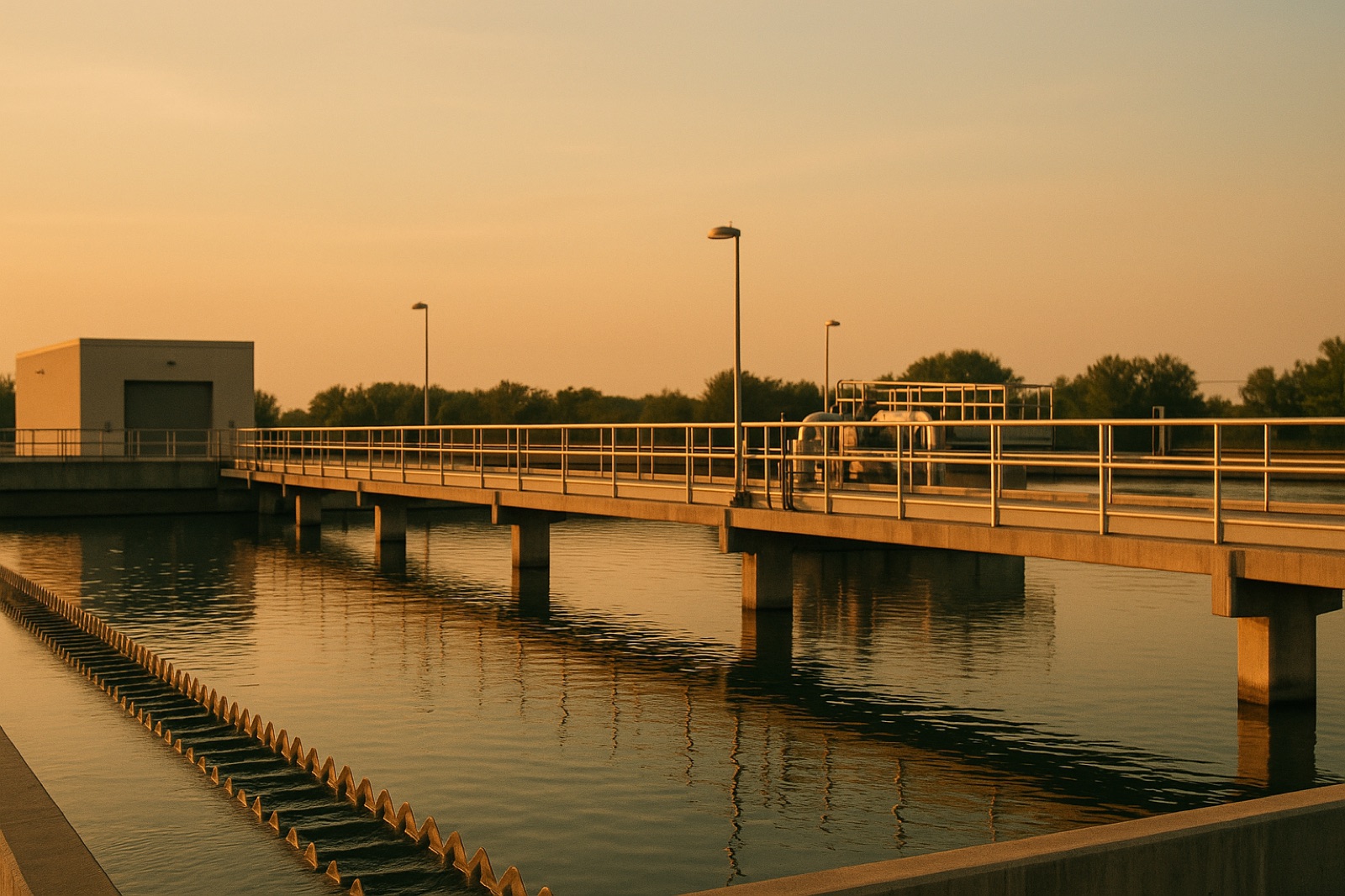
A river often looks settled from a bridge. The water moves, the banks hold, and the surface offers little hint of what is happening miles upstream or in the sediment underneath. For a Missouri town that draws from a river or sends treated water back to one, the useful question is rarely whether the river is healthy in a general sense. It is whether anyone is watching the specific stretch that matters to the town's supply.
That gap between what is observed and what is assumed is the subject of a recent report from The Guardian. The story follows Indigenous students who are retracing the route of the Lewis and Clark expedition, which set out in 1804 after Thomas Jefferson dispatched Meriwether Lewis and William Clark, and who are now conducting a new wildlife survey along the path. The headline puts the point plainly: "We can't protect what we cannot see"
. The story was written by Ashley Stimpson, and you can read the full report in The Guardian's report on Indigenous students retracing the Lewis and Clark route.
The principle holds for rivers because most monitoring is built in layers, and each layer has edges. A utility typically checks source water at its intake or wellhead, tests treated water at the plant, and samples the distribution system at selected points. Outside the utility, state agencies and watershed groups may collect river data at fixed sites, which can sit many miles from the place where a given community draws its supply. A reading from one sampling point is a reading of that point. It says less about the water a few miles away, and less still about what happens between scheduled visits.
Where the blind spots tend to hide
Gaps usually cluster in three places. The first is between sampling dates, where a short rain event can move sediment, nutrients, or runoff through a river faster than a monthly visit can capture. The second is upstream of a monitoring point, where discharges or changes in land use may not appear in the record until someone downstream notices a difference. The third is the connection between surface water and groundwater, which is easy to overlook in a flat, familiar landscape. None of these gaps means a problem exists. They mean a clean report can describe a narrow slice of the river and still be accurate.
Questions worth asking before the next report
A town does not need to become a laboratory to use this information. It needs a short list of questions for its utility, its county, or the agency that handles the river. Where is each sampling point relative to the intake or well, and is there one above any known discharge? How often is each point sampled, and does the schedule change after heavy rain or spring melt? Who collects the data, and who can see the raw results rather than only the summary? If a new survey or study starts in the watershed, is there a recorded baseline from before it began?
Those questions also help separate kinds of uncertainty. A gap in the schedule is different from a gap in the map, and both are different from a result that falls outside an expected range. Writing down the answers gives a town something to compare against when the next report arrives, rather than leaving each report to be read in isolation.
When the home is the last checkpoint
Some households, after reading what their utility reports, decide to add treatment at the tap or to test a private well on their own schedule. Before buying anything, it helps to remember that a treatment unit can only address contaminants someone has measured and chosen to target. Test results, not marketing language, should drive the choice. A local specialist can explain what a given system removes and what it leaves in place, while the utility's annual report and a laboratory test of your own supply make the best starting documents. reverse osmosis specialists serving the St. Louis area are one place to begin that conversation, though the questions above still apply.
The Guardian's headline is a useful test for any town. Before asking whether water is safe, ask what the monitoring can see, where its view stops, and who has agreed to look at the parts in between. A survey of wildlife along an old expedition route and a sampling schedule at a river intake answer the same kind of question. Each is only as complete as the places it was designed to reach.