Great Lakes
The Intake Sits at a Depth: Why Lake Levels Change What Reaches the Plant
A shoreline water intake was built for one depth of lake, so a falling lake changes the water a town drinks and the questions it should ask its utility.
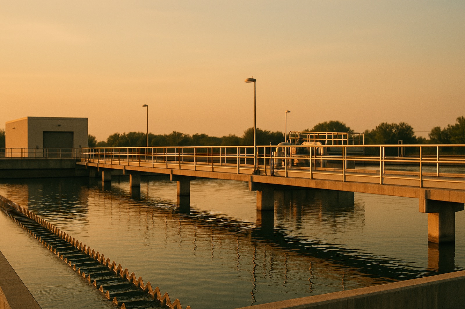
Along the Great Lakes shoreline, many city water systems begin with a pipe that runs out under the water and ends in a screened opening called an intake. Where that opening sits matters more than most customers realize. Lake levels rise and fall through the year and across longer stretches of time, and the intake keeps drawing from whatever depth it was built for.
The Depth Is a Design Choice
Engineers set an intake depth when a plant is designed. The opening needs enough clearance above the lakebed to avoid drawing in sediment, and enough water above it to stay clear of surface ice, waves, and debris. Utilities often measure that margin against a low-water reference, a planning figure that describes how low the lake is expected to fall. When the lake drops toward that figure, the margin shrinks, and the pumps still need to draw cleanly from what remains.
What Changes When the Lake Drops
Shallower water near an intake can be stirred up more easily by wind and waves, which can bring more sediment toward the screens. In warmer months, shallower water can also heat faster than deeper water. Both changes affect treatment. Operators may need to adjust coagulant doses, change how long filters run between cleanings, or check screens more often. These are normal operating adjustments, not signs that something has gone wrong, but they do require the plant to be run with the lake in view.
Why the Plant Is Not the Only Question
Intake depth is also a capital question. Extending an intake farther out, relocating it, or dredging the approach to keep water flowing are projects that take years to plan, fund, and permit. A utility that waits for a low lake to start the conversation may find that its options are limited and its costs are higher. For that reason, the planning assumptions a utility uses for lake levels deserve a close read, especially if the water department's capital plan is up for a board vote.
Where to Look for the Lake Figures
Lake level information is published by federal and binational monitoring programs, and those figures are often the starting point for local planning. The more useful question for a resident is which figure your own utility uses. Check the utility's annual water quality report, its capital improvement plan, or the packet for the most recent board meeting. Look for the low-water reference used in planning and the date it was set. Keep a short note of the date you read each figure, since lake conditions change and an old number can look more reassuring than it should.
A Note on National Coverage
Water Finance and Management reported that Dan Hartnett has been selected to serve as the Association of Metropolitan Water Agencies' CEO, with the change being "selected to serve as its CEO on a permanent basis" effective Nov. 1, 2026. A leadership change at a national association does not by itself change how any single intake is run, and it does not move a lake level. It is worth knowing who speaks for national utility groups, but the question for a shoreline town is still the depth of its own pipe and whether its plant has a plan for when the water falls.
Questions to Bring to Your Utility
A short list can make a public meeting more productive. Ask the depth of the intake and the low-water figure used in planning. Ask when the intake and its screens were last inspected, and who inspects them. Ask whether the plant has a documented plan for changes in turbidity or temperature when levels fall, and whether that plan is public. Ask whether any intake extension or dredging is in the capital budget, and what year it is scheduled for. The answers will show whether the utility is planning for the lake it has or the lake it had when the plant was built.