Wells & Rural
The Sprayer Changes, the Drift Question Stays: Read a Drone Weed Plan Before You Judge It
A drone changes how herbicide reaches a field or ditch, but wind, the product label, and the path to groundwater decide what a rural household should check.
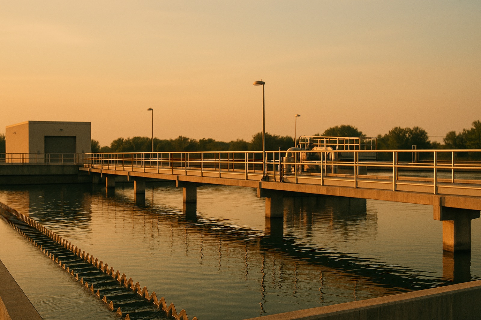
On November 1, 2026, The Guardian reported on a dispute in the Red Hill area of Boulder County, Colorado, over a plan to spray invasive weeds from drones. The paper's story, written by Carey Gillam, The Guardian's report on the Red Hill drone spray dispute, says officials "say they have a safe plan" for the work, and that some local residents remain concerned. Our review of that story is limited to its headline and summary, so this article does not judge the plan itself. It uses the dispute as a prompt to explain what a well owner or rural household can check whenever an aerial or low-flying application is proposed nearby.
The sprayer changes, the drift question does not
A drone is a delivery method. It changes where the nozzle points and how close an operator can get to a target, but it does not change what the product is, which way the wind blows, or how far a fine droplet travels before it lands. Operators often describe drone spraying as more targeted than a boom on a tractor or a manned aircraft, and in tight spaces such as ditches, slopes, or wet ground, that can be a real advantage. Precision, however, describes the aim. Drift describes what happens after the droplet leaves the nozzle, and that depends on wind speed, droplet size, temperature, humidity, and the layers of air near the ground.
Three questions that stay the same
Whatever the equipment, a household near a treated area can ask three plain questions. The first is where the product can end up. A treated field edge may sit a short distance from a farm pond, a creek, a roadside ditch, or a neighbor's shallow well. The second is what the label says. Registered pesticides carry directions for use, and those directions often include restrictions tied to wind, buffers from water bodies, and timing. A press release or news summary is not the label, and the label is the document that governs how the applicator must work. The third is what lies between the surface and your water. Soil type matters. Sandy outwash and fractured bedrock let water move downward quickly, while dense clay slows it. A shallow well draws from a zone that can respond faster to surface events than a deep well, although local geology decides how fast.
Records worth asking for before a notice arrives
Most of the useful information sits in records that exist before the first pass. Ask for the exact product name as printed on the label, not a general term, and ask for the federal registration number if the applicator can provide it. Ask which company or applicator holds the license for the work and which state or county agency oversees pesticide applications in your area. Ask for the planned dates, the wind limits the operator intends to use, and the buffers planned around water bodies. If a county extension office, a state pesticide program, or a local water utility keeps a notice list, ask to be added. Keep your own dated photographs of the field edge, your well cap, and any drainage path, so you have a baseline if you ever need to compare conditions later.
What a headline cannot settle
A headline about safety usually reflects the claims of the people who designed the plan. That is a starting point, not a finding. Neither this article nor the summary we reviewed can say whether the Red Hill plan is sound, and a Midwest reader should not treat any single story as a verdict on a local application. The useful question is whether the label, the applicator's records, and any monitoring plan answer the questions your household has. If they do not, ask in writing and keep the reply. This is general educational information about how water and pesticide records fit together, not professional advice for your property.