Infrastructure
Below the Dam, the Map Comes First: Finding Out Whether Your Home Sits in a Failure's Path
A dam's condition is only half the question, and the other half, who lives downstream, is usually recorded on paper before any water moves.
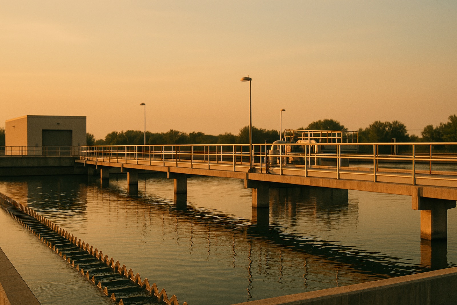
A recent Circle of Blue report by Brett Walton features an interview with Peter Gleick on the rising toll of water violence. Its summary describes daily life for civilians in war zones such as Kyiv, Khan Younis and Khartoum, where Circle of Blue's interview with Peter Gleick, reported by Brett Walton says "your water supply could be cut" and that "an exploded dam could flood" nearby farmland. Midwest readers will not face a war zone, but the summary's warning about dams translates to a plainer question. A dam built for a farm pond, a flood control reservoir or an old mill race can release water downstream, and the people in that path may have less warning than they expect.
Most dams do their jobs without drama, and a reader does not need to predict a failure to benefit from knowing the downstream line. Knowing that line is ordinary local preparedness, the same kind of record a town keeps for its pipes and valves.
How Dams Get Ranked
Many states and federal programs sort dams by hazard potential. That term describes what would be harmed if the structure failed, not how old, tall or sturdy the dam looks. A small earthen dam with a house directly below it can rank higher than a larger structure that releases into empty ground. That is why a rural homeowner may be surprised to learn that a neighbor's pond falls under a state dam safety program, or that it does not.
Finding the Line on Paper
Ask three offices for information: county emergency management, the state agency that regulates dams, and the dam owner. The owner may be a county, a city, a utility, a conservation district or a private landowner. Higher-hazard dams are often required to have an emergency action plan, and those plans frequently include an inundation map showing which roads and buildings would be reached and roughly how quickly water would travel. Availability varies by state and by owner, so ask directly rather than assume a map exists.
Ask also whether the map is current. A new subdivision, a rebuilt bridge or a changed road can alter what sits in the mapped path, and an old map may show buildings that no longer stand or miss ones that were built later.
Read the Map Against Your Water Supply
A dam line matters to a water user beyond the house. If your town's well field, intake or treatment plant sits inside a mapped path, a failure could cut service or damage equipment, just as an outage from any other cause would. Compare the utility's source and plant locations with the map, then read the utility's own emergency plan to see how it would respond. Your water board or operator can explain which pieces are protected and which are not.
For a private well, note the ground elevation of the wellhead and whether the top of the casing stands above typical flood levels. Floodwater can carry sediment and contaminants into a well that is not sealed properly, so a water test after any flood is a practical step. The local health department can explain its sampling options and what the results mean for your household. This is general information about planning, not a testing recommendation for any particular well.
Keep the Paper Where the Family Will Find It
Save the map, the contact numbers and the evacuation route it shows with the household papers that already get pulled in an emergency, such as deeds and insurance records. A plan helps only when someone at home knows it. Share a copy with the adult who would drive the family out first, and with neighbors who may need a ride or a phone call.
The war reports remind readers how fragile water systems become under attack. A farm pond below a county road is a different situation, but it raises the same question: who is downstream, and do they know it?