Infrastructure
A Warning Is Only as Current as Its Feed: Ask Which Federal Records Your Utility Uses
Storm planning, drought outlooks, and flood maps rest on federal records that a local utility rarely names, so ask which feeds your system depends on.
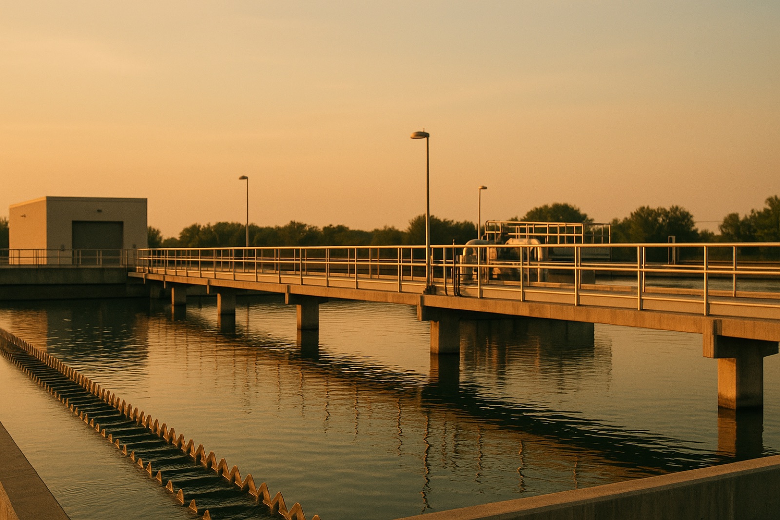
A water system rarely builds its own picture of the weather. Rain totals, river levels, and long-term climate records usually come from a mix of local gauges, state offices, and federal agencies. When one of those streams slows down, the effect seldom shows up on a water bill. It shows up later, in a planning document or a storm response that was built on older numbers.
Where the Numbers Come From
A utility might use these records to prepare for heavy storms, to estimate how much water a river will carry during a wet spring, or to judge whether a dry stretch is beginning. Some of the information comes from gauges the utility operates itself. Much of it comes from national weather observations, river monitoring, and climate datasets maintained by federal agencies. Those sources are useful because they are consistent across years and states. They are also easy to take for granted, since they arrive as a number in a report rather than as a visible line item.
A recent report from The Guardian, written by Gabrielle Canon, examined what happens when the federal side of that system weakens. The article, published October 27, 2026, is The Guardian's report on NOAA cuts and El Niño warnings. It describes sweeping cuts to the National Oceanic and Atmospheric Administration and says the cuts have "severely hampered the country's capacity to forecast" extreme weather. The headline warns of a "cascade" of El Niño dangers. The point for a water reader is not the national politics. It is that the forecasts, research, and responses that local planners draw on are part of one connected chain.
Why a Cascade Is Hard to See
Problems in a data chain tend to surface slowly. A monitoring series that is updated less often may still look normal in a board packet. A forecast that arrives later may still be accurate, but it leaves less time for crews to move equipment, check pumps, or notify customers. A research gap may not matter until a planning decision is made years after the data was needed. None of this means a particular utility is at risk. It means the lag between a federal change and a local effect can be long enough that residents never connect the two.
Midwest readers should also remember that a utility's plans are only as recent as their last update. A capital plan, a hazard mitigation document, or a stormwater model may cite a dataset that was current when it was written. Asking when the data was last refreshed is a basic check, and it costs nothing.
Questions to Bring to a Board Meeting
Four questions can make these records visible without turning a public meeting into a technical debate. First, ask which weather, river, or climate datasets the utility uses for storm and drought planning. Second, ask which of those datasets come from federal agencies and which come from state or local sources. Third, ask when each dataset was last updated and whether the utility has a backup source if one is delayed. Fourth, ask whether any planning document cited in a recent decision relies on records that have changed or been paused.
The answers do not need to be alarming to be useful. A clear list of sources, update dates, and backup plans tells residents that the system has thought about the chain. A vague answer is a reason to ask again, in writing, and to request the source documents behind the numbers. Public records of board packets and engineering reports are usually the fastest place to find them.
Reading a warning well means knowing where it came from. A forecast, a flood map, or a drought stage is a product of many inputs, and some of those inputs live far from the local tap. Asking your utility to name them is a patient, practical way to understand the system that delivers your water and the risks it is planning around.