Great Lakes
A Lake Forecast Serves the Ship First: What a Shoreline Water Crew Should Keep on Hand
A forecast tells a vessel what the lake may do next, but a shoreline water system needs its own records of where its intake sits, what storms do to its raw water, and who keeps those notes current.
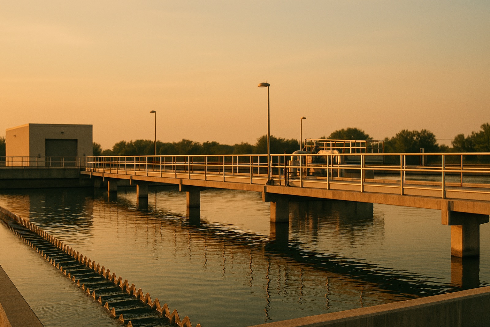
Many people who live near the Great Lakes picture their water system in simple terms. A pipe reaches out into the lake, a plant treats what comes in, and the tap runs. That picture holds on calm days. The lake, though, is not a still tank. The intake at the end of that pipe sits in water that moves with wind, waves, seasonal changes in temperature, and, in winter, ice. A Circle of Blue story on the growing number of ships on the lakes takes up a related problem. Its headline argues that scientists say the lakes need information on the weather those ships will face. The same logic applies on land, at the water plant.
What the intake depends on
An intake is usually a screened opening or a protected structure set at some depth offshore, connected by pipe to a pumping station on shore. How well it works depends on where it sits relative to the shoreline, how much water lies above it, and what else discharges into the same bay or cove. Storms can stir up sediment near shallow intakes, which raises turbidity in the raw water the plant must treat. Ice can crowd screens. Wind can push floating debris toward an opening. None of these conditions requires a specialized forecast to matter, but each one is far easier to plan for when a crew already knows the layout.
Operators often describe raw water quality as something they read rather than something they simply measure. A cloudy sample after a windy night is a clue, not a diagnosis. The useful question is whether the same kind of storm has produced the same kind of change before, and whether the plant responded in the same way. Answering that question takes records, not memory.
A lake forecast is not an intake map
A weather forecast tells you what the sky and the lake surface may do over the next day or two. It does not tell you whether your intake sits inside a bay that catches sediment, whether a stormwater outfall lies upwind of it, or how deep the water is at the opening during a low-water season. Those answers live in a different set of documents: the plant's construction drawings, the intake's recorded depth and location, a list of nearby discharges, and the operator's own log of raw water conditions over past storms.
Treat the forecast and the intake map as two separate tools. A forecast warns the crew that a rough day is coming. The map and the log tell the crew where the weak spots are and what happened the last time the lake behaved this way. Neither replaces the other.
Aging pipe meets rough water
The Circle of Blue summary makes a broader point that fits many Great Lakes communities: "aging water infrastructure are vulnerabilities" that have been ignored for too long. An intake line laid decades ago may have been placed under assumptions about shoreline conditions that differ from the ones a crew faces today. The original drawings may not show later changes, such as a new storm outfall, a repaired shore structure, or a shifted sand bar. A utility that cannot find its own drawings is working from guesswork when the next storm arrives.
This is why records matter more than headlines. A story about ship weather can prompt a town to ask a simple question about its own intake, and the answer may reveal gaps that no forecast would have shown.
What to keep on hand
A small utility can keep the essentials in one folder, digital or paper. Start with the intake location and depth taken from the plant drawings, and note the date of the most recent inspection. Add a log of raw water turbidity and any plant shutdowns during each significant storm, along with the wind direction and wave conditions the operator observed. Include a list of storm sewer and wastewater discharges within the same stretch of shoreline. Finally, record the name and contact information of the state drinking water staff who review changes to the intake or treatment process.
Update the log after every event, including storms that caused no problems. A short entry saying a storm passed with no change in raw water is useful. It gives the next operator a baseline, and it shows the board that the utility is paying attention when conditions are calm as well as when they are not.
Ask one question at the next meeting
At the next public meeting, ask whether the utility has the intake records described above and who updates them after storms. Plain answers from a plant manager tell residents more than a forecast graphic does. The lake will do what it does regardless of what anyone writes down. The records determine whether the town learns from each rough day or simply waits for the next one.